Geophysical survey at Bungay Castle
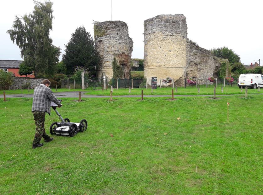 In July and August 2017 Suffolk Archaeology undertook three detailed geophysical surveys within the bailey of Bungay Castle, Bungay, Suffolk at the request of Historic England and the Bungay Castle Trust.
The aim of the project was to identify potential archaeological features or former buildings relating to the occupation of the castle, within a 0.24ha area of lawn, and to compare the results from modern equipment with those from a previous geophysical survey carried out in 1990.
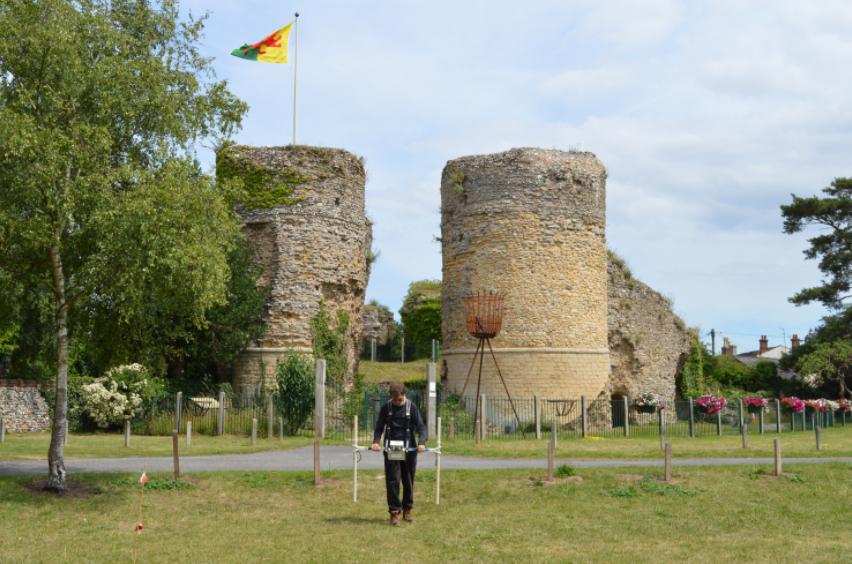 Bungay Castle was first built in 1100 by Roger Bigod, a Norman invader who assisted King William in conquering England in 1066 and was rewarded for his loyalty by being given a large area of East Anglia. Originally an earthen motte and bailey castle surrounded by wooden palisades the castle was the family's stronghold on the River Waveney. In around 1165, his second son Hugh Bigod added an impressive and large stone keep, which had 5 - 7m thick walls and stood to a height of 33m, and a curtain wall around the bailey. Hugh, was a rather interesting and ambitious character, first capturing Norwich Castle in 1136 which resulted in King Stephen marching on Bungay in 1140.
 The result of this was rather surprising though as Hugh was awarded the title of Earl of Suffolk to help with the negotiations! In 1173, along with the Earl of Leicester, he once again decided to defy the crown and captured Haughley Castle, forcing King Henry II to march against and defeat him. This time though, he was declared a traitor and eventually left Britain to fight in Syria, dying around 1178 and Bungay Castle remained uninhabited until 1269, when Roger Bigod inherited the title and built the gatehouse and octagonal curtain wall around the keep. He died shortly after the castle was completed in 1297 and the castle subsequently fell into disrepair and by 1382 was described as 'old and ruinous'.
In 1934 Dr Leonard Cane started a programme of excavation and repair on the site. The Duke of Norfolk presented the castle to the town in 1987 with an endowment to help towards its preservation; today it is owned and administered by the Bungay Castle Trust. An earth resistance meter and a fluxgate gradiometer survey were undertaken on the bailey by Geophysical Surveys of Bradford in 1990. This project identified subtle anomalies that were noted by the authors as including a wall and made ground layers although their archaeological significance could not be determined.
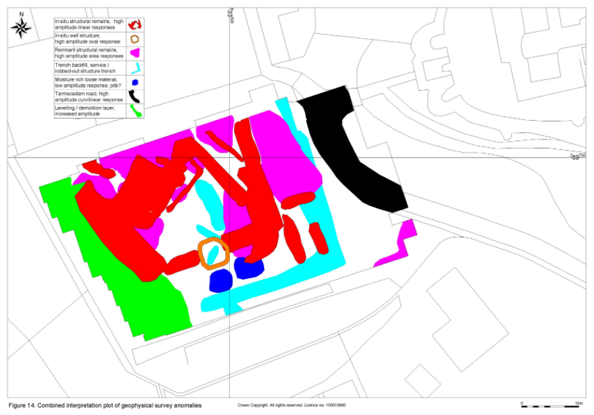
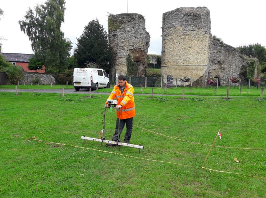
The project comprised of three separate surveys using different techniques and equipment; fluxgate gradiometer (magnetometry), earth resistance meter and ground penetrating radar. The results for each survey were seen to vary depending on the instrument, allowing for the production of a combined interpretation plan which highlights a range of geophysical anomalies that have significant archaeological potential, broadly falling within five types; in-situ structural remains including include walls, floors and a potential well, robbed-out wall footings or service trench runs, rubbish pits, demolition/levelling deposits, and extant modern furniture.
Click here to read the full report
For more from this company visit their website www.suffolkarchaeology.co.uk


